Visual Capture
High-resolution 2D orthophotos and 3D point clouds of the full asset, ready for AI classification.
What we deliver
Drone inspections give you accurate readings of structures and components without scaffolding, lifts, or shutdown. Visual and thermal imagery is captured in a single flight, geo-referenced, and handed straight to the AssetEye AI for damage detection.
The result is faster, safer, and more complete than a manual survey — your crews stay on the ground, and your reports arrive ready for decision-making.
High-resolution 2D orthophotos and 3D point clouds of the full asset, ready for AI classification.
Detects leaks, missing insulation, and moisture before they show on the surface.
Reports pinpoint exact locations and severity, so crews fix what matters and skip what doesn’t.
Technology Stack
Six layers of hardware, sensors, and software working as one stack — each one earning its place between the drone in the air and the report on your desk.
Sharp aerial imagery, the foundation for AI analysis.
High-resolution aerial photos, processed into geo-referenced orthophotos that AssetEye can read pixel by pixel. Not a deliverable on its own, the entry point to every automated damage detection.
Precise documentation for measurement and preservation.
Millimeter-accurate 3D models for quantity calculations, renovation planning, and heritage documentation. Delivered through Nira.app with Capturing Reality as our processing partner.
Thermal imaging reveals leaks and moisture.
Thermographic cameras detect temperature anomalies that flag insulation gaps, water ingress, and energy loss before they become visible damage. The first step in our planned AssetEye moisture module.
Specialized inspection for renewable energy.
Blade-surface inspection of turbines without shutting them down. Buildings remain our core, but turbines prove the technical envelope and serve niche clients in the energy sector.
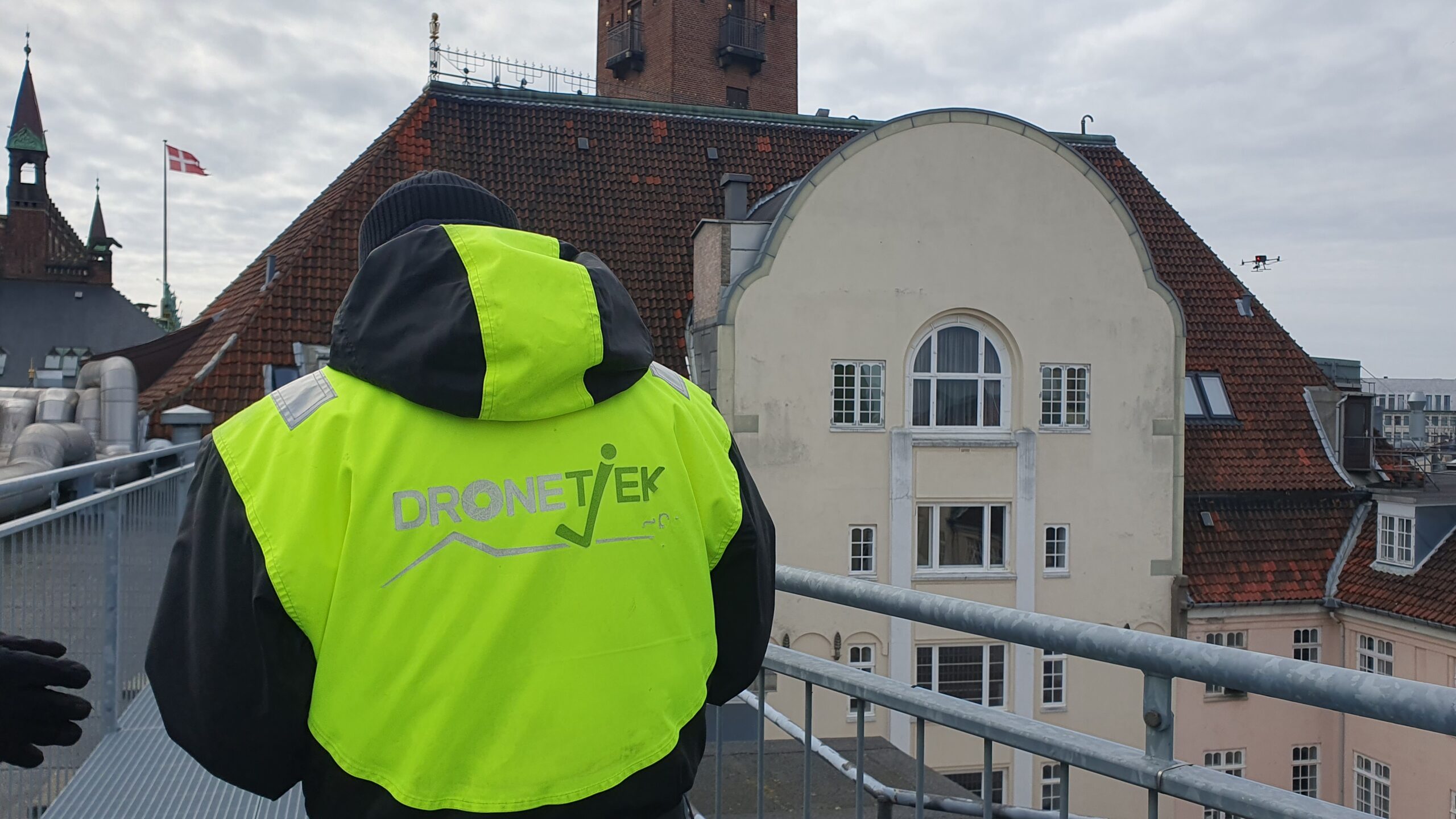
Physical and digital safety at the highest level.
Certified pilots in the air and a hardened data pipeline on the ground. Every flight is permitted, every byte is GDPR-compliant, and the platform aligns with ISO 27001 from capture to delivery.
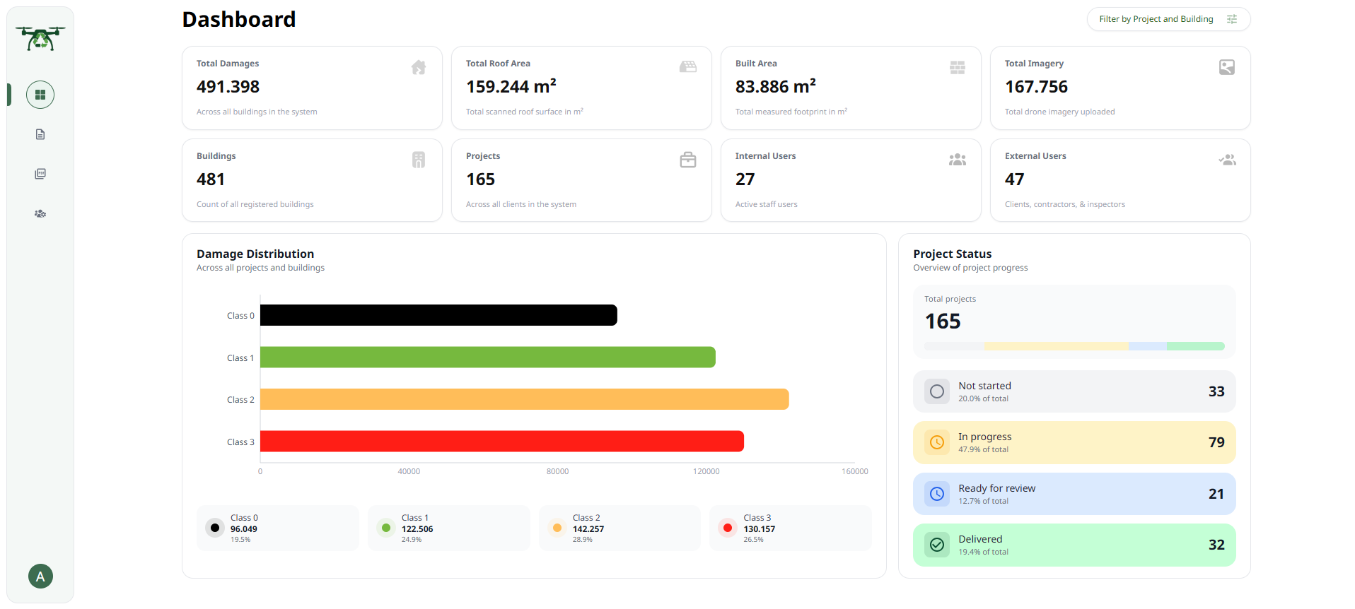
AssetEye Platform
From observation to decision, in one platform.
AssetEye Engine v6 is the AI layer that turns drone data into damage classes, confidence scores, and budget-anchored decisions. 5,557 decision paths, 99.2% accuracy, and manual override always one click away.
Visit AssetEyeDeeper Look
Six layers, six purposes. Here is what each one actually does on a job and what you get back as the client.

012D Orthophoto
Every flight starts with a high-resolution 2D orthophoto: a geo-referenced top-down image stitched from hundreds of overlapping aerial photos. It is the canvas the AssetEye damage classifier reads pixel by pixel, and the reference everyone on the project can point at without ambiguity.

023D Models & Point Clouds
From hundreds of overlapping aerial photos we build a centimetre-accurate 3D model. Owners and boards can rotate, measure, and compare the model from one inspection cycle to the next, anchoring renovation tenders and heritage documentation in real geometry instead of approximations.
03Thermography
Thermal cameras reveal water ingress, heat loss, and missing insulation that look fine in a normal photo. We typically combine a thermal pass with a photo pass on the same flight, giving the AI two complementary inputs and a complete picture of asset condition.
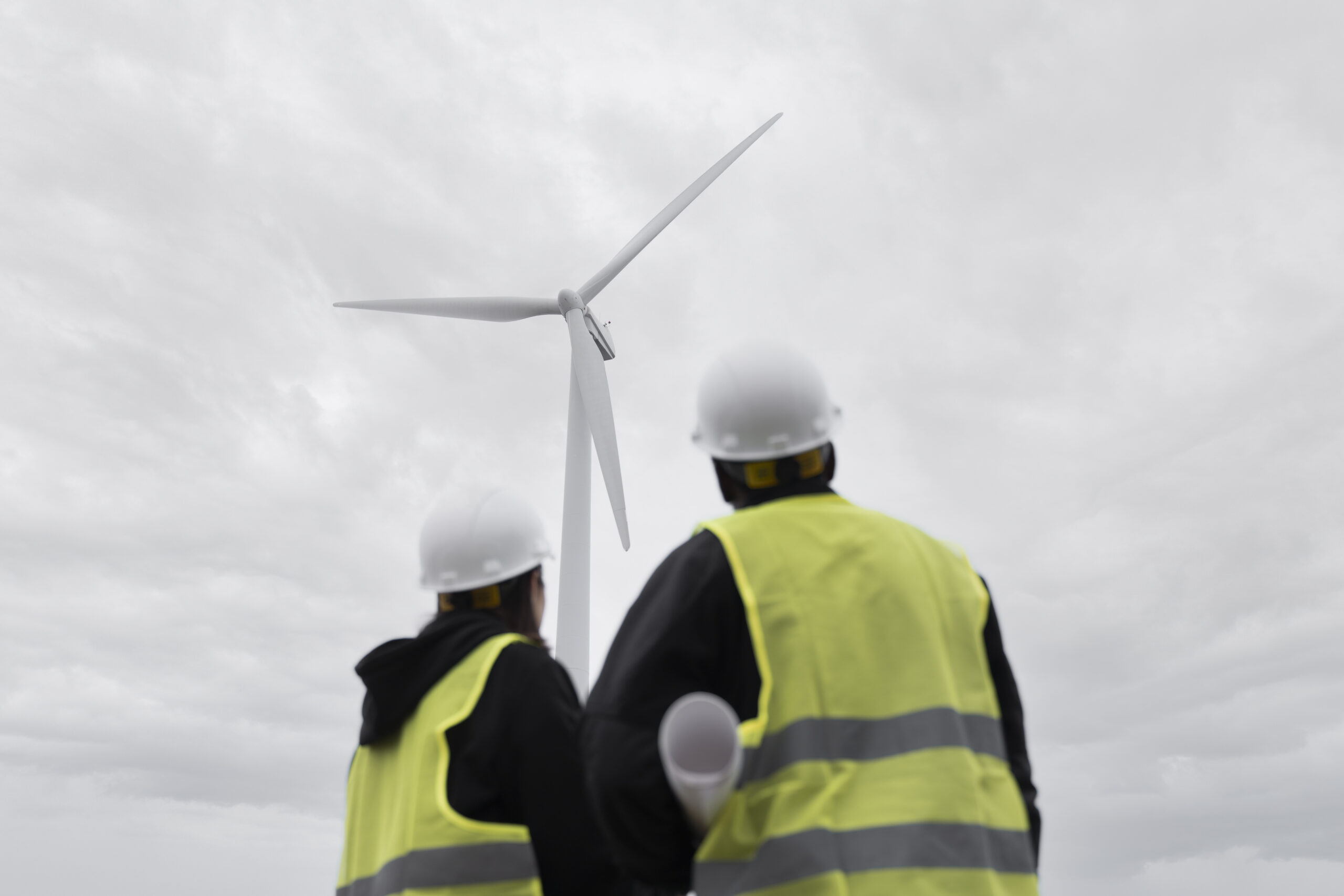
04Wind Turbine Inspection
Drone-based blade inspection captures every metre of every blade at high resolution, without taking the turbine offline. Tight flight paths maintain safe clearance from rotating components while delivering imagery that catches leading-edge erosion, lightning damage, and bond-line defects long before they become structural risks.

05Security & Compliance
Every flight is permitted, every pilot is certified, and every byte we capture moves through a pipeline aligned with ISO 27001 and GDPR from the moment it leaves the drone. The platform sits on Azure with environment separation, encrypted at rest and in transit, with audit trails on every report touch.
Technology Partners
Every flight, model, and report runs on hardware and software that the construction, geospatial, and AI industries already trust. We do not reinvent the stack — we make it work as one pipeline for you.
Drone hardware
3D photogrammetry

3D model delivery

Construction cost data
Inside the Engine
A look inside how AssetEye turns raw drone passes into a board-ready dossier — classifier, cost layer, carbon layer, dashboard.
Trained on 477,035 Danish facade and roof images. 99.2% match rate on a held-out test set.
Each finding mapped to a Molio reference cost, adjusted for region and material type.
Carbon footprint per repair, plus the avoided CO₂ vs scaffolding-based inspection.
Cross-property view, prioritised by risk and budget. Export to Excel for finance teams.