Inspection and data solutions for complex assets and operational environments.
Technology Stack
From data gathering
to actionable Insights
Drone inspections provide accurate data readings of critical structures or components. Through visual and thermal imagery, drones provide comprehensive information for targeted maintenance efforts and improved operational efficiency.
2D Orthophoto
Sharp aerial imagery, the foundation for AI analysis.
High-resolution aerial photos, processed into geo-referenced orthophotos
that AssetEye can read pixel by pixel. Not a deliverable on its own,
the entry point to every automated damage detection.
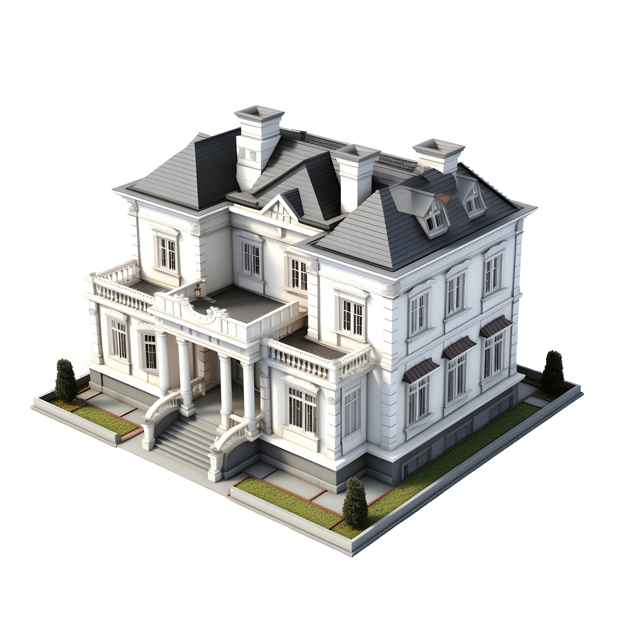
3D Models & Point Clouds
Precise documentation for measurement and preservation.
Millimeter-accurate 3D models for quantity calculations, renovation
planning, and heritage documentation. Delivered through Nira.app with
Capturing Reality as our processing partner.
Thermography
Thermal imaging reveals leaks and moisture.
Thermographic cameras detect temperature anomalies that flag insulation
gaps, water ingress, and energy loss before they become visible damage.
The first step in our planned AssetEye moisture module.
AssetEye Platform
The brain behind the analysis
From observation to decision, in one platform.
AssetEye is the AI layer that turns drone data into damage
classes, confidence scores, and budget-anchored decisions. 5,557
decision paths and manual override always one click
away.
Deeper Look
When the tech
comes together
Each layer has a job. Here is what each one actually does on site
and what you get back as the client.
012D Orthophoto
The map behind every inspection
Every flight starts with a high-resolution 2D orthophoto: a
geo-referenced top-down image stitched from hundreds of overlapping
aerial photos. It is the canvas the AssetEye damage classifier reads
pixel by pixel, and the reference everyone on the project can point
at without ambiguity.
Centimetre-level resolution, fully geo-referenced
Stitched from 300+ overlapping captures per asset
Direct input to AssetEye Engine v6
023D Models & Point Clouds
Centimetre-accurate building models
From hundreds of overlapping aerial photos we build a
centimetre-accurate 3D model. Owners and boards can rotate, measure,
and compare the model from one inspection cycle to the next,
anchoring renovation tenders and heritage documentation in real
geometry instead of approximations.
Output: OBJ, GLB, or web viewer URL via Nira.app
Enables area and volume measurement
Heritage and listed-building documentation
FARO scanner compatible for hybrid captures
03Thermography
See what the eye misses
Thermal cameras reveal water ingress, heat loss, and missing
insulation that look fine in a normal photo. We typically combine a
thermal pass with a photo pass on the same flight, giving the AI two
complementary inputs and a complete picture of asset condition.
FLIR-class radiometric cameras
Best in low-sun conditions, early morning
Outputs feed AssetEye’s thermal classifier
First step in the planned moisture detection module
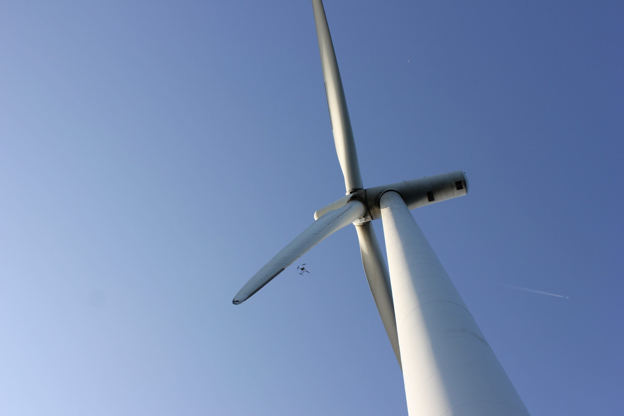
04Wind Turbine Inspection
Inspect without shutting down
Drone-based blade inspection captures every metre of every blade at
high resolution, without taking the turbine offline. Tight flight
paths maintain safe clearance from rotating components while
delivering imagery that catches leading-edge erosion, lightning
damage, and bond-line defects long before they become structural
risks.
High-resolution blade-surface imagery
Damage detection on rotating components
No turbine shutdown required
Specialised crew certified for energy-sector work
Why DroneTjek
Why DroneTjek
One platform, three reasons it scales with how your sector actually decides.
Proven Expertise
Years of experience delivering high-quality drone inspections across diverse industries.
Scalable Solutions
From single buildings to large portfolios, our technology scales to meet your needs.
Data-Driven Decisions
Clear, actionable insights that support better decision-making and planning.
Technology Partners
Built on
industry-leading platforms
Every flight, model, and report runs on hardware and software that the
construction, geospatial, and AI industries already trust. We do not
reinvent the stack — we make it work as one pipeline for you.
Drone hardware
3D photogrammetry
3D model delivery
Construction cost data
Get Started
Ready to Get Started?
Whether you're managing buildings, infrastructure, or providing inspection services, we have the right solution for you.